Aerial Photo USA

Aerial, Drone, and Architectural Photography

Home

Contact Us

Request Quote

Stock Photos

Custom Photos

Construction Progress

Drone Photography

Architectural

Energy

Vertical Imagery

Videography

Markets Served

Testimonials

Flight Schedule

News

Red Wing Aerial Photography - Laredo Aerial Photographer - Laredo Aerial Imagery
Laredo Aerial Photography

Red Wing Aerial Photography is Laredo's trusted source for on demand aerial photography.  From San Antonio to Del Rio, Eagle Pass, Laredo, the Rio Grande Valley, Corpus Christi and all points in between--we can do it!  With over 20 years of experience supporting the commercial real estate and construction industries, we know how to effectively showcase your property for ad copy, presentations, site reconnaissance or construction progress photos--We understand what you're trying to accomplish!

Commercial real estate brokers find our quick turn around time and high quality digital aerial photography at competitive rates to be invaluable.  Whether you are in need of ground-based or elevated photos of your site, or drone or aerial photos or video, we've got you covered!

Contact

Red Wing Aerial Photography
FBO Location:
5205 Maher Street
Laredo, TX  78041

Phone:  956.686.3444

Email: 
Laredo@RedWingAerials.com
 
Our principal office is located in San Antonio, Texas, however, our aircraft are constantly being dispatched all over Texas and the South Central United States. To accommodate our customers, we can arrange to meet with you at any of the FBO locations located at the airports which we frequent.

Standard Photo Packages

We offer two standard "marketing" aerial photo packages, but are happy to adapt to your specific requirements:

"Single Altitude Package"
  • Low altitude (1,000' above ground level) "close-ups" from eight compass points
  • Low altitude (1,000' above ground level) "wide-angle" views from eight compass points with your site centered in the lower one-third of the frame and looking out towards the horizon
"Dual Altitude Package"
  • Low altitude (1,000' above ground level) "close-ups" from eight compass points
  • Low altitude (1,000' above ground level) "wide-angle" views from eight compass points with your site centered in the lower one-third of the frame and looking out towards the horizon
  • High altitude (2,500' above ground level) "wide-angle" views from eight compass points with your site centered in the lower one-third of the frame and looking out towards the horizon

Your images will be delivered electronically via a download link.  Additional services can be provided for an additional charge:

  • Images saved on CD or other media
  • Images saved in commercial print quality 36-megapixel .tiff file format
  • Computer graphics
  • Photographic enlargements

Pricing depends upon a number of factors including location, timing, and your specific photo shoot requirements.  Contact us to discuss your requirements or complete our online Quote Request form to receive a quote.

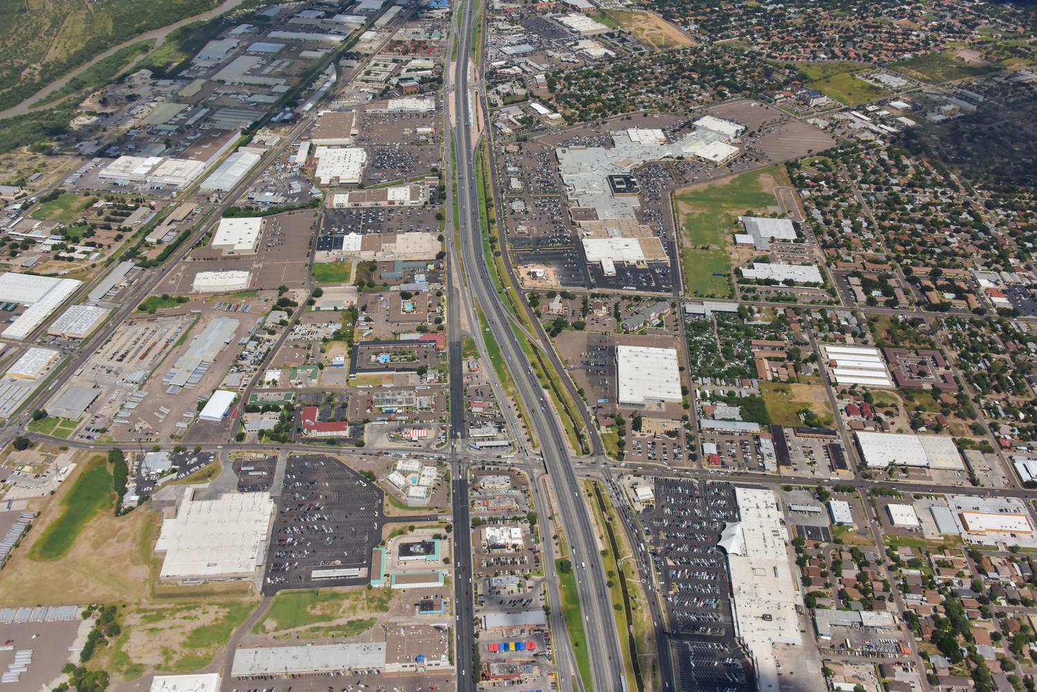
Mall Del Norte, Laredo, Texas - Laredo Aerial Photographer Image
Mall Del Norte, Laredo, Texas
Wal-Mart, Laredo, Texas - Laredo Aerial Photographer Image
Wal-Mart, Laredo, Texas
Rio Norte Shopping Center, Laredo, Texas - Laredo Aerial Photographer Image
Rio Norte Shopping Center, Laredo, Texas
Request Quote

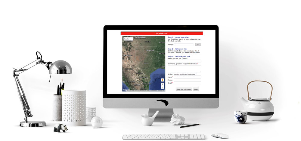
To receive a quote for a Laredo aerial photo shoot by the end of business today, please complete the form below in its entirety and click on the "submit" button.  We'll get back to you right away with a firm quote.


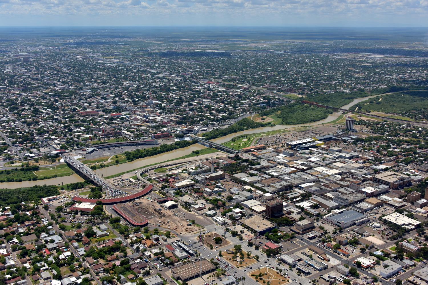
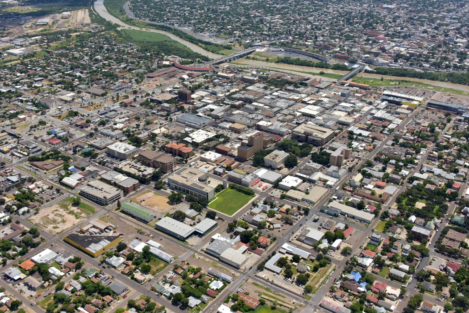
Laredo is the county seat of Webb County, Texas, United States, located on the north bank of the Rio Grande in South Texas, across from Nuevo Laredo, Tamaulipas, Mexico.  Laredo boasts the largest inland port in the United States.  Laredo's economy revolves around commercial and industrial warehousing, import, and export.  More than 47 percent of United States international trade headed for Mexico and more than 36 percent of Mexican international trade crosses through the Laredo port of entry.  The Laredo market poses particular challenges for drone photo flights as its airport is centrally located and the boundary of its airspace, where drone flight is prohibited, covers much of the city.  We fly the Laredo, Texas area on a regular basis in addition to the markets listed below.

Standard Photo Packages

We offer two standard "marketing" aerial photo packages, but are happy to adapt to your specific requirements:

"Single Altitude Package"
  • Low altitude (1,000' above ground level) "close-ups" from eight compass points
  • Low altitude (1,000' above ground level) "wide-angle" views from eight compass points with your site centered in the lower one-third of the frame and looking out towards the horizon
"Dual Altitude Package"
  • Low altitude (1,000' above ground level) "close-ups" from eight compass points
  • Low altitude (1,000' above ground level) "wide-angle" views from eight compass points with your site centered in the lower one-third of the frame and looking out towards the horizon
  • High altitude (2,500' above ground level) "wide-angle" views from eight compass points with your site centered in the lower one-third of the frame and looking out towards the horizon

Your images will be delivered electronically via a download link.  Additional services can be provided for an additional charge:

  • Images saved on CD or other media
  • Images saved in commercial print quality 36-megapixel .tiff file format
  • Computer graphics
  • Photographic enlargements

Pricing depends upon a number of factors including location, timing, and your specific photo shoot requirements.  Contact us to discuss your requirements or complete our online Quote Request form to receive a quote.

Markets Served

We routinely service San Antonio, Austin, Lubbock, Waco, Dallas/Fort Worth, Abilene, San Angelo, Temple, Killeen, Bryan, College Station, the Rio Grande Valley (McAllen, Edinburg, Harlingen, Brownsville and South Padre Island,) Laredo, Del Rio, Uvalde, Eagle Pass, Midland/Odessa, Corpus Christi, Houston and all points in between (see our Texas aerial photography Coverage Map.)  Browse our Photo Flight Schedule to see when we're scheduled to fly your area next.  Although our trade territory encompases nearly all of Texas, additional charges may apply in the case of remote locations.  For aerial photographs of large tracts of land such as farms and ranches, or for remote locations please contact us for an exact quote.

We also offer discounts off of our standard pricing for construction progress photos.  Contact us by telephone for a quote or complete our online Request Quote form and we'll reply today with a firm price!

Call us today at 210-828-5366 to schedule your aerial photo shoot!

We regularly fly and photograph the following markets:
  • Abilene, Texas
  • Alice, Texas
  • Amarillo, Texas
  • Austin, Texas (including Round Rock, Georgetown, Cedar Park, Pflugerville, Lake Travis, Lakeway)
  • Beaumont, Texas
  • Brownsville, Texas
  • Bryan, Texas
  • College Station, Texas
  • Copperas Cove, Texas
  • Corpus Christi, Texas
  • Cotulla, Texas
  • Dallas, Texas
  • Del Rio, Texas
  • Eagle Pass, Texas
  • Edinburg, Texas
  • Fort Worth, Texas
  • Falfurrias, Texas
  • Galveston, Texas
  • Harlingen, Texas
  • Houston, Texas (including Conroe,The Woodlands, Tomball, Katy, Missouri City, Bellaire, Pearland, League City, Friendswood, Galveston, La Porte)
  • Killeen, Texas
  • Laredo, Texas
  • Lubbock, Texas
  • McAllen, Texas
  • Midland, Texas
  • Mission, Texas
  • New Braunfels, Texas
  • Orange, Texas
  • Odessa, Texas
  • Port Aransas, Texas
  • Port Arthur, Texas
  • Rio Grande Valley (including Rio Grande City, Mission, McAllen, Pharr, San Juan, Alamo, Donna, Weslaco, Mercedes, La Feria, Harlingen, Brownsville, South Padre Island)
  • San Angelo, Texas
  • San Antonio, Texas (including New Braunfels, San Marcos, Canyon Lake, Bulverde, Spring Branch, Boerne, Helotes, Medina Lake, Castroville, Devine, Seguin)
  • San Marcos, Texas
  • Seguin, Texas
  • South Padre Island, Texas
  • Temple, Texas
  • Uvalde, Texas
  • Waco, Texas
  • Weslaco, Texas
  • Wichita Falls, Texas
We also service many parts of Mexico on contract photo assignments, including Cancun, Cozumel, Riviera Maya, Playa Del Carmen, Akumal, Tulum, Veracruz, Monterrey, and Mexico City.

Visit our Links page for helpful aerial photography resources like PhotoLinks.com and  www.alltimefavorites.com.

Try visiting our new mobile-friendly website, www.RedWingAerials.com.

This site was last updated on May 11, 2017
©2003-2017 Red Wing Aerial Photography All Rights Reserved