Aerial Photography Texas
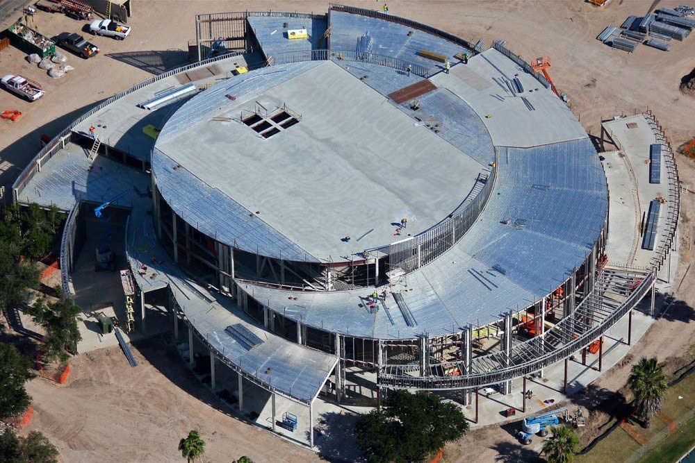
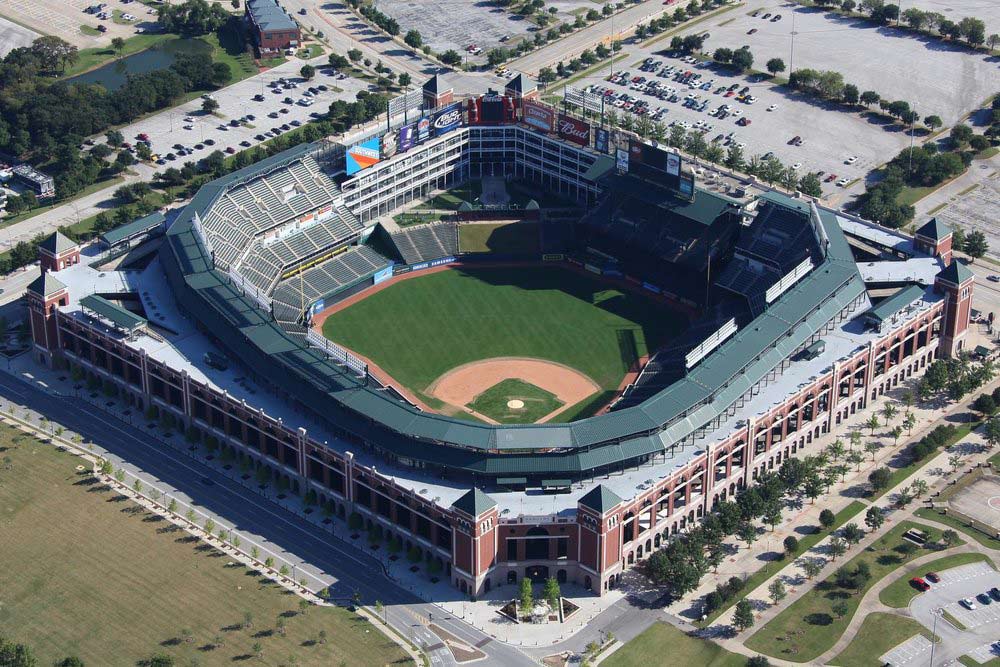
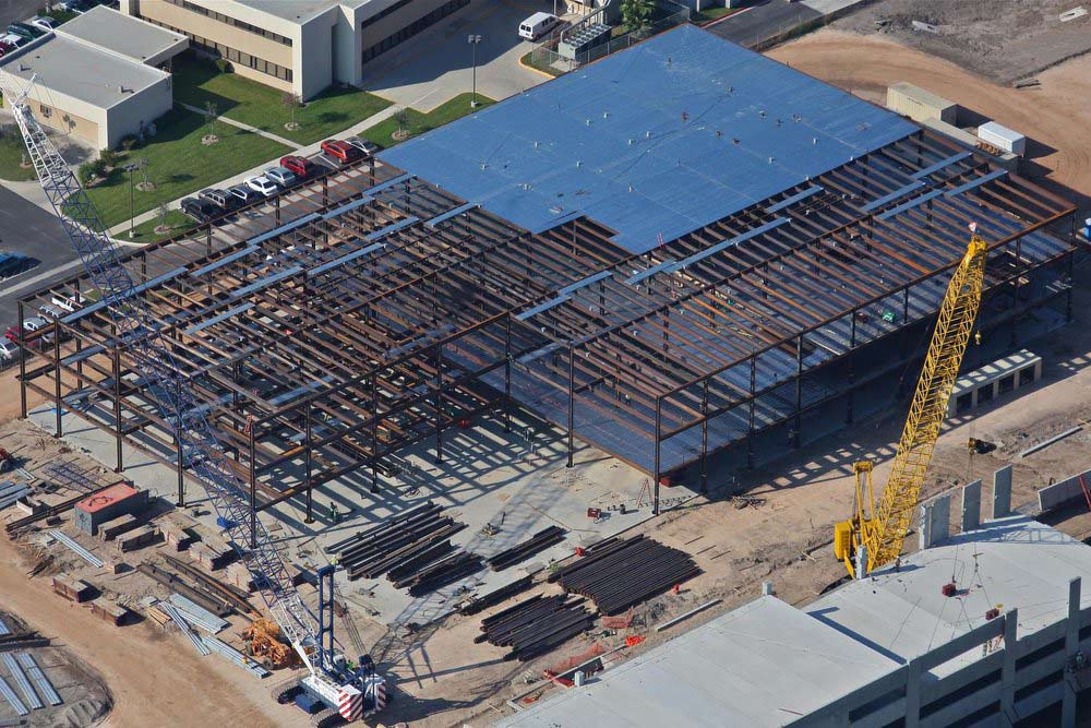
Red Wing Aerial Photography is Texas' trusted and reliable source for on demand custom aerial photography. With available aircraft and representatives based in San Antonio, Dallas, and Houston making daily flights within a 200-mile radius, we've got Texas covered. From San Antonio to Austin to Dallas to Midland to the Rio Grande Valley to Corpus Christi to Houston and all points in between--we fly there! Whether you need ground/architectural photos, drone, helicopter, or airplane photos, we can do it! With over 20 years of experience supporting the commercial real estate and construction industries, we know how to effectively showcase your property for ad copy, presentations, site reconnaissance or construction progress photos--We understand what you're trying to accomplish! Call us today at 877-324-2533 to discuss your project.

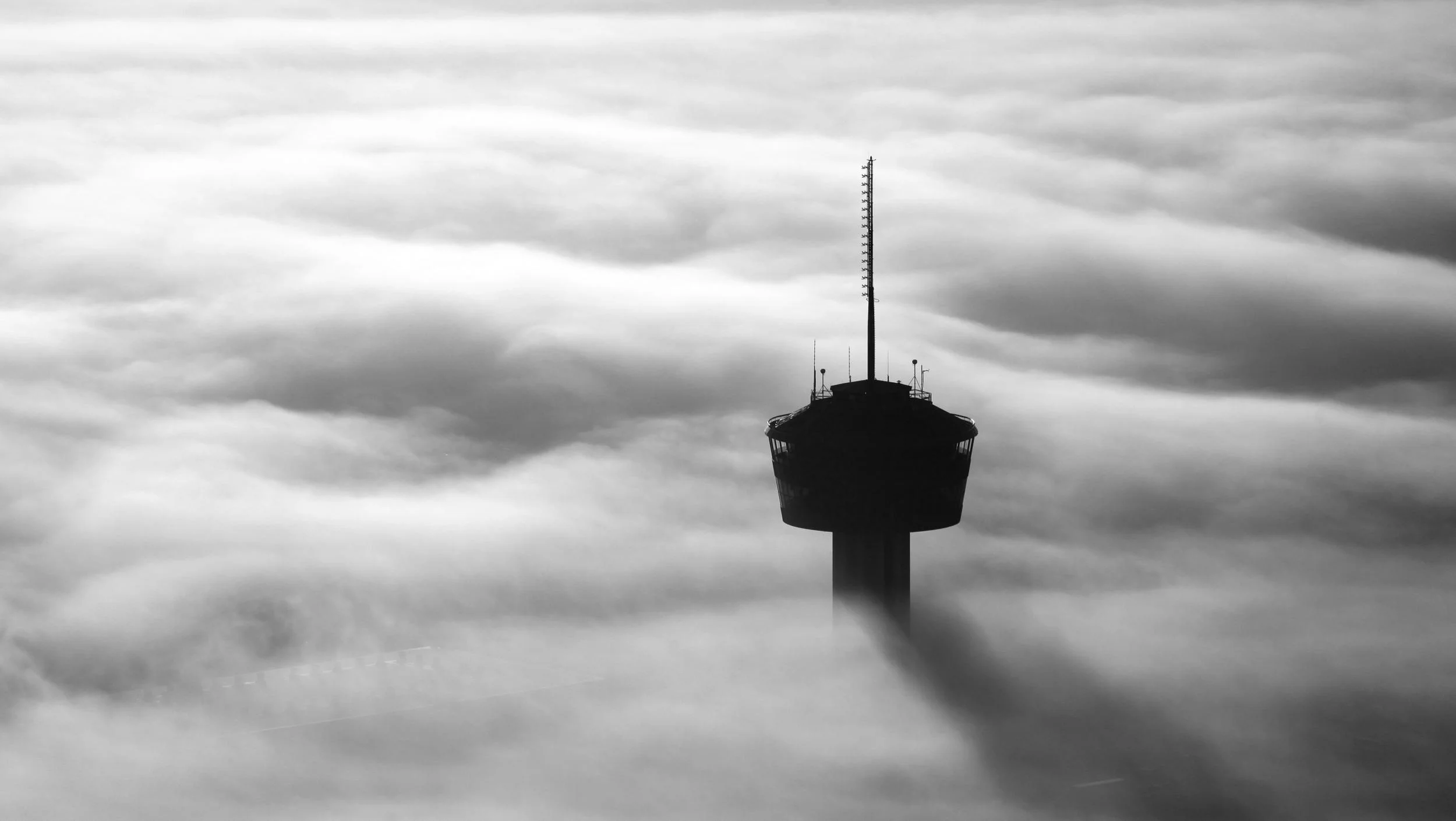
traditional aerial PHOTOGRAPHY
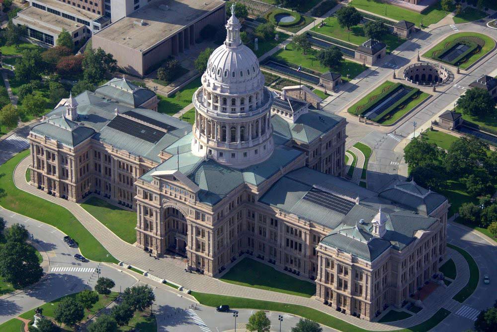
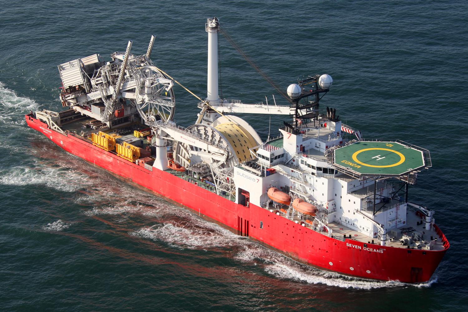
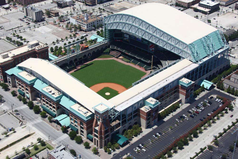
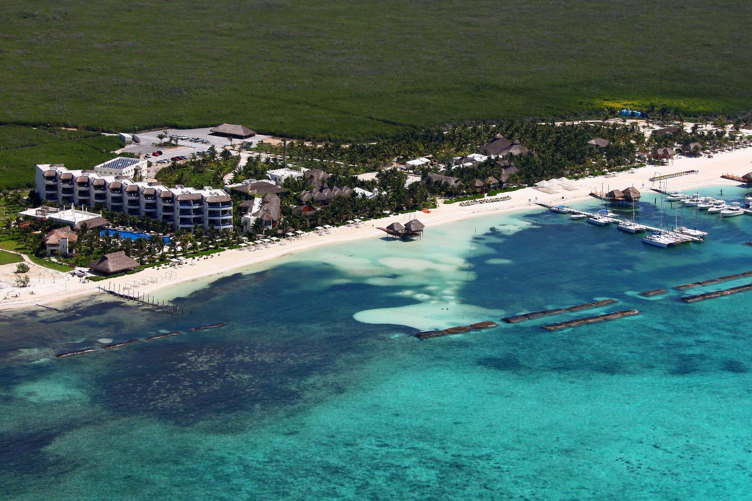
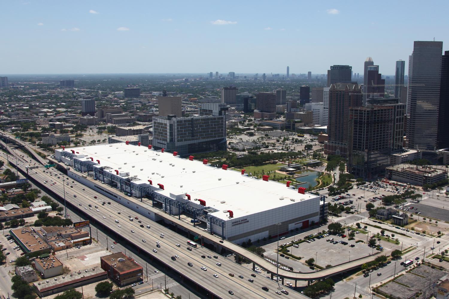
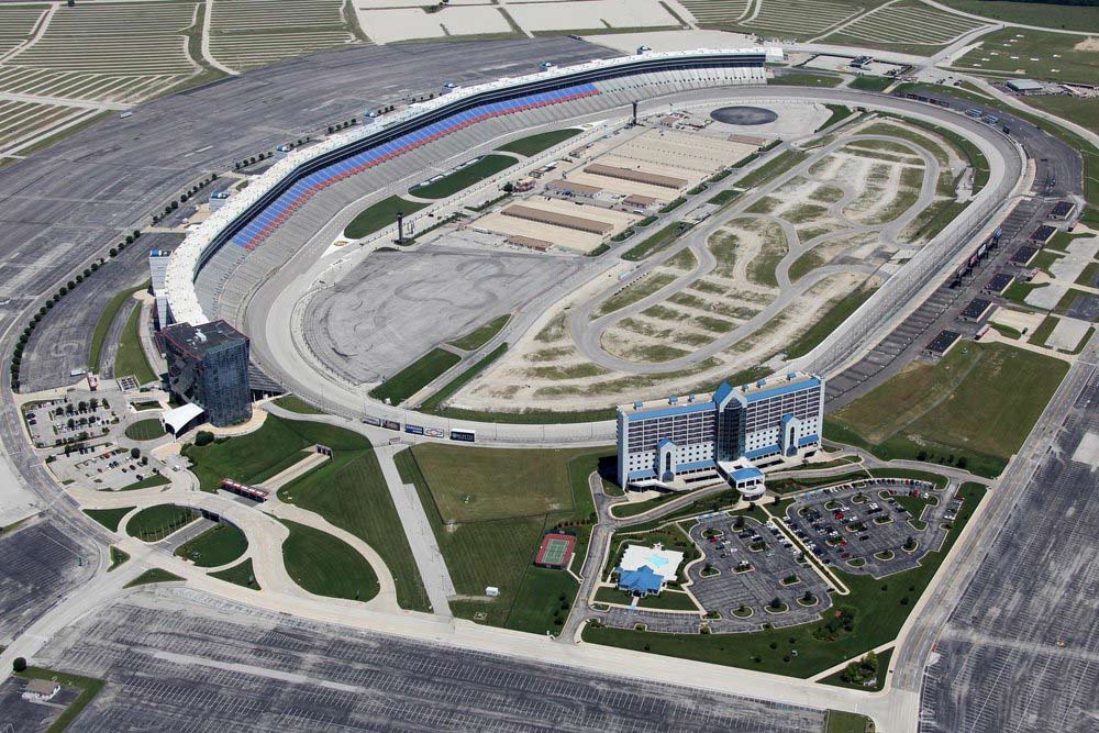
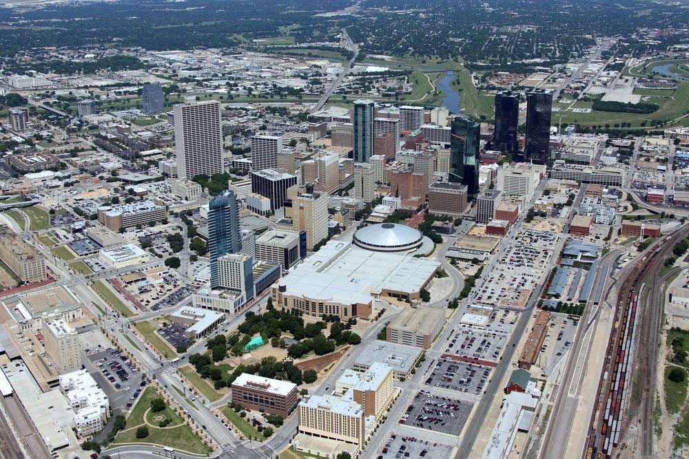
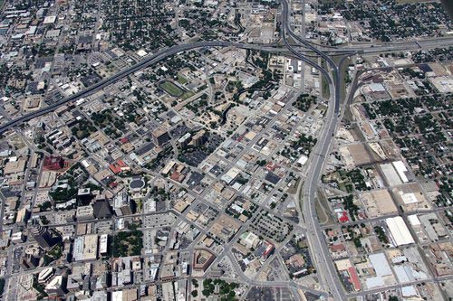
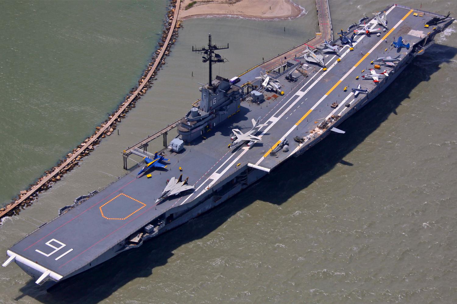
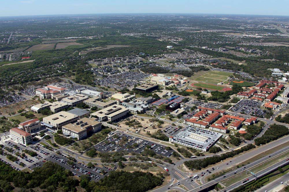
Aerial photos and video captured from traditional platforms such as airplanes and helicopters offer both close-ups as well as broad views of your site showing its unique location advantages.
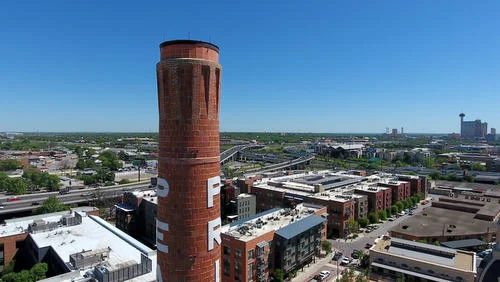
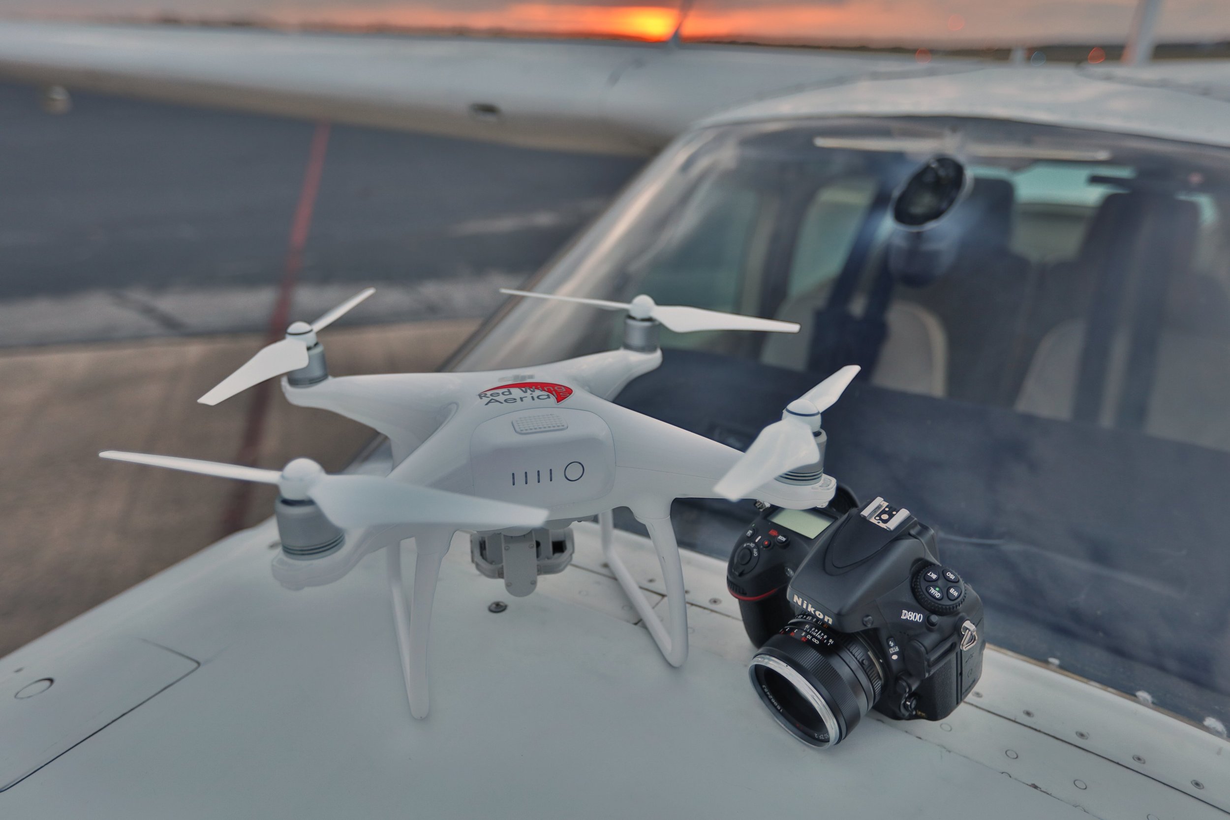
DRONE AERIAL PHOTOGRAPHY
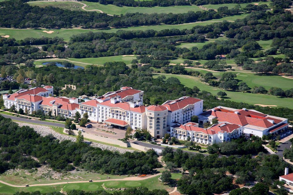
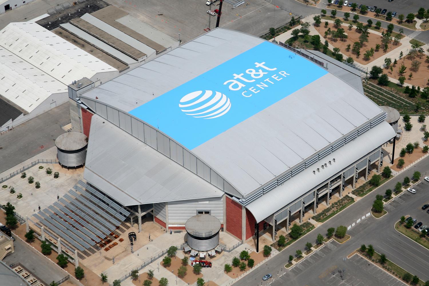
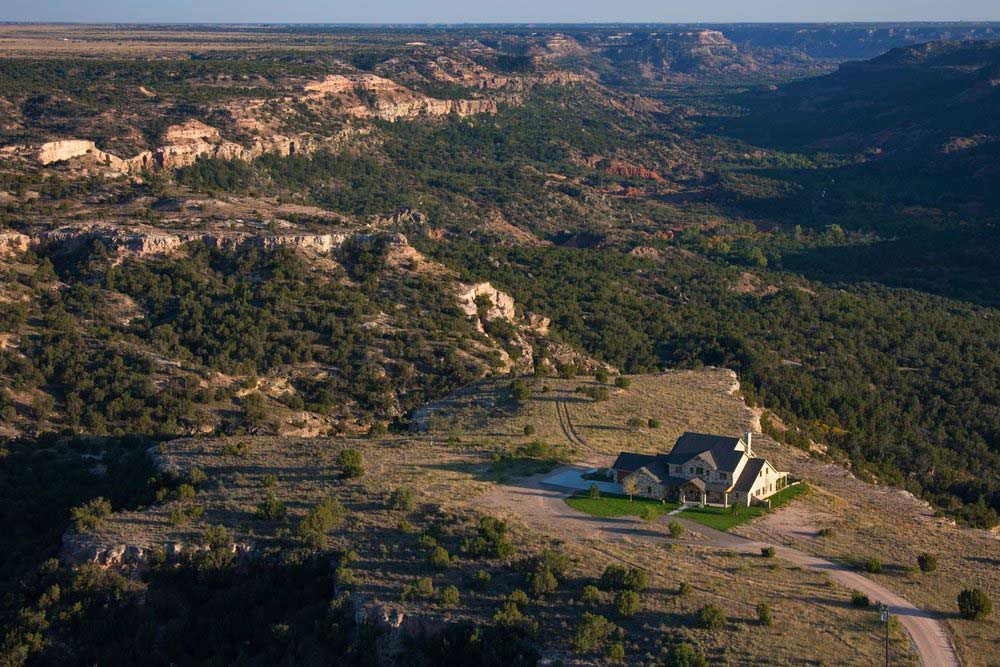
Drone photography and videography offer a unique low-altitude, wide-angle perspective, highlighting the attractive architectural features of your property.

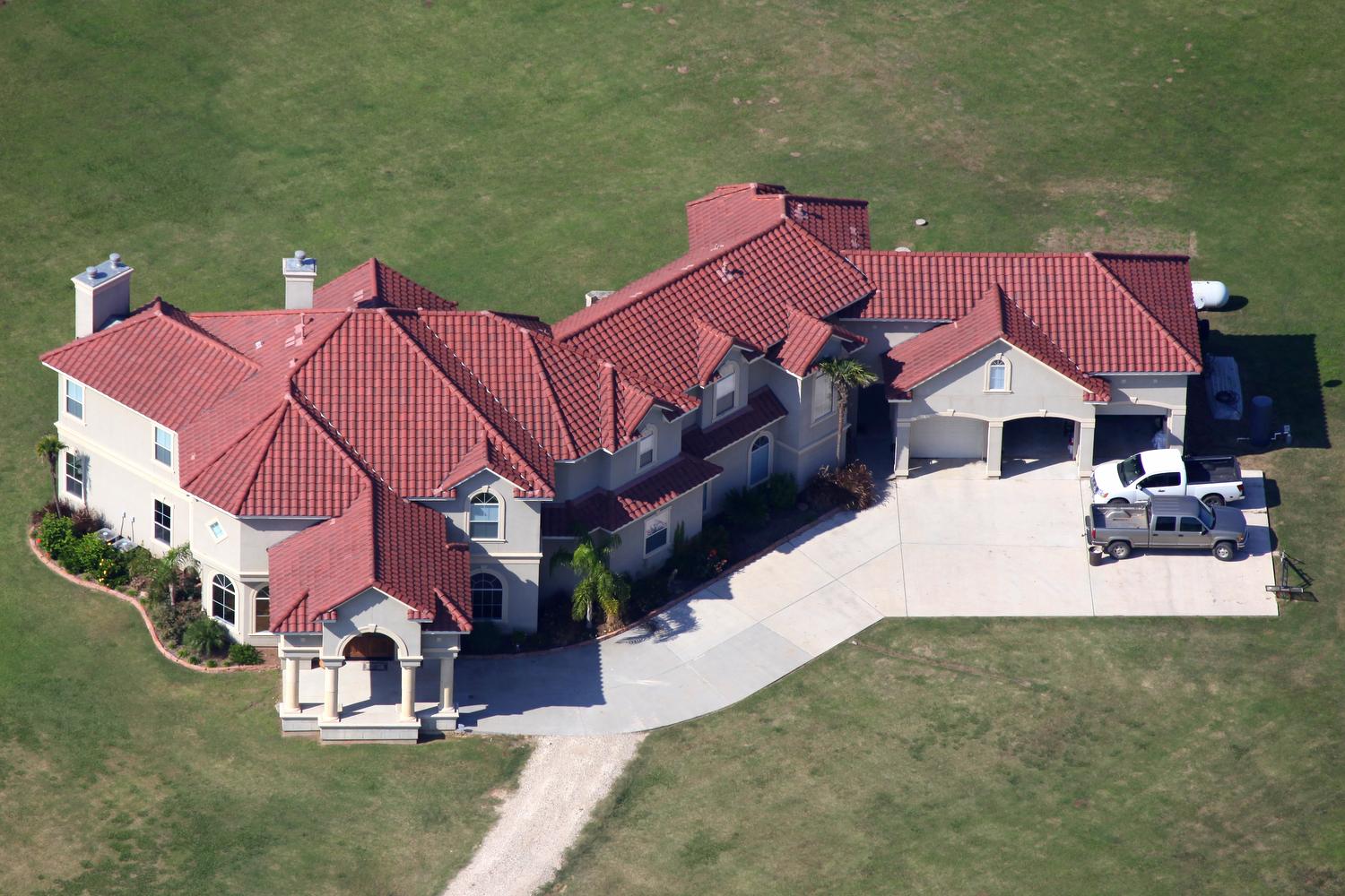
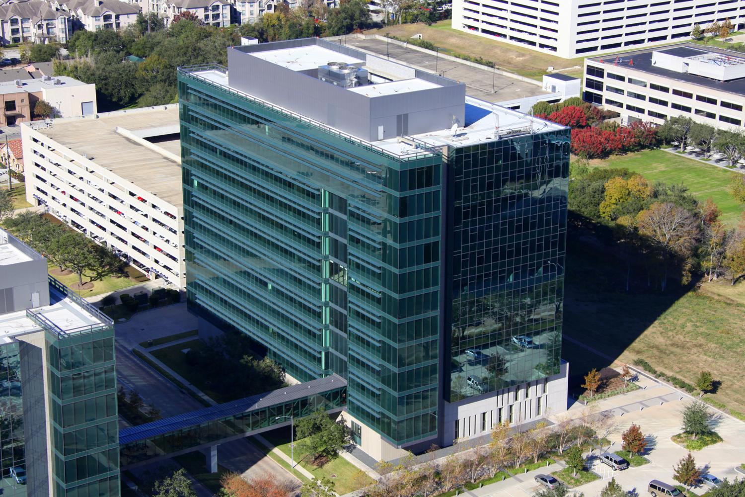
ARCHITECTURAL PHOTOGRAPHY
Why hire a separate photographer to perform ground-based real estate photography of your property? We can do it all for you-ground, drone, helicopter, and airplane!
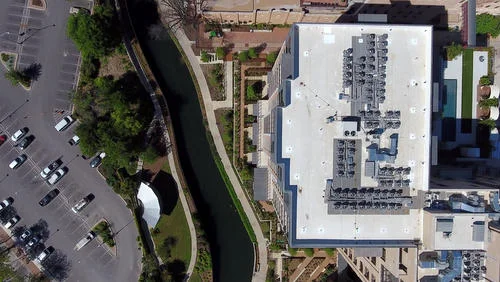
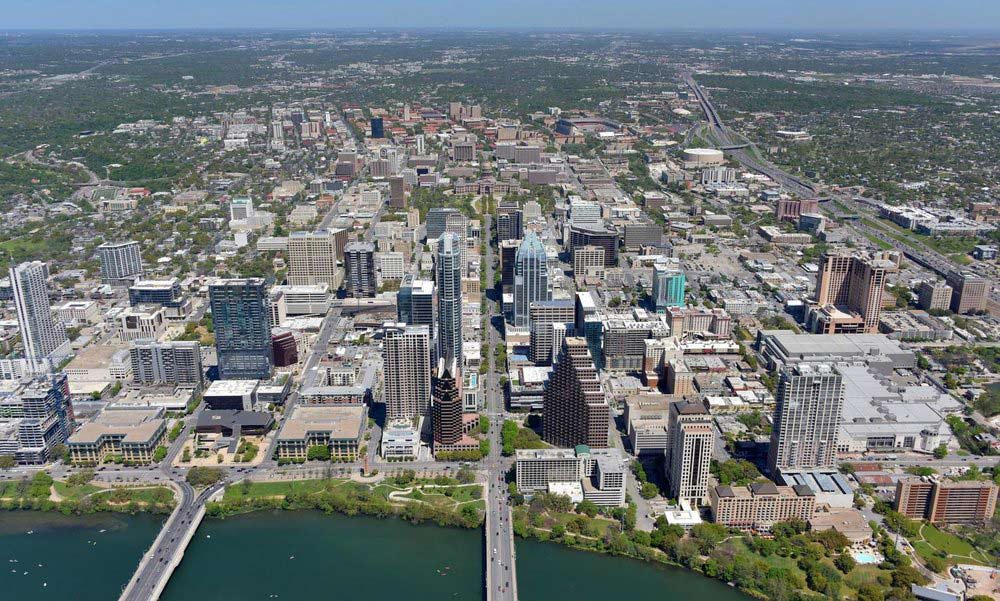
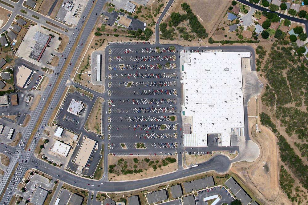
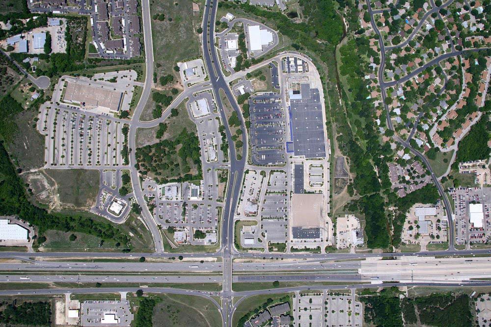
VERTICAL Photography
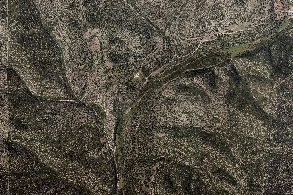
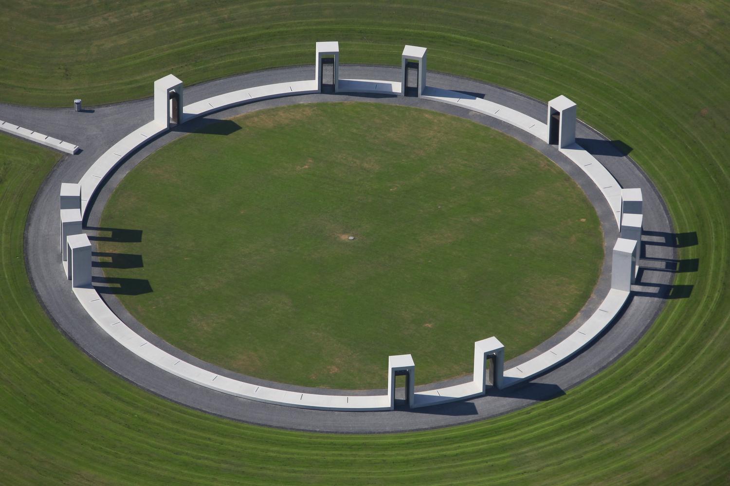
Vertical photography offers a "map-like" view looking straight down on either just your small site or of a large area such as a ranch or CBD with enough resolution and detail to produce a large, wall-sized print.

Can’t wait for a beautiful day for a custom aerial photo flight? Browse through our stock photo database of over 142,000 images captured throughout Texas and surrounding states to see if we may already have photos that will meet your needs. Prices range from $175 for a single image down to $10 per image for an entire gallery of images of a single location.
Not sure whether you need ground, drone, helicopter, or airplane photos? Click here for help deciding which photo platform best suits your needs. We'll show you what a site looks like from various altitudes, ranging from ground level, to drone level (25'-400'), to helicopter level (200'-1,000'), to airplane level (1,000'+), all the way up to 3,500' above ground level.
Organizations that trust us


““You are awesome. These days it is really difficult to find a company that cares so much about their customers. Your flexibility and attention detail is so impressive. I can’t thank you enough for all your diligence with our account. Not to mention, the photos look great!””
Texas Aerial Photography


FAQs
-
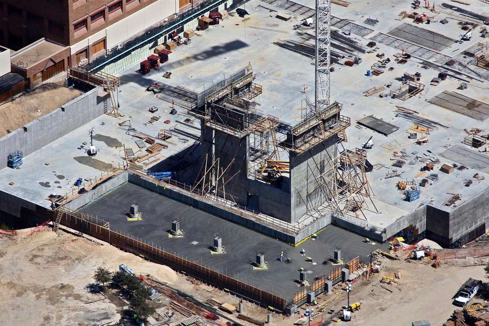
Aerial photography is used for a variety of purposes, such as marketing commercial or residential properties, producing vertical maps of farms, ranches or cities, inspecting infrastructure such as oil refineries, pipelines and storage facilities, post-hurricane damage assessments, monitoring the progress of construction projects, marketing major sporting and other events, or just about anything where an aerial perspective might come in handy.
-
Red Wing Aerials has access to a variety of aerial photography platforms. Once we understand your project and your goals for that project, we will customize a strategy to meet your goals and deploy one of our three fixed-wing manned aircraft, helicopter, or one of our many drones. We utilize a variety of drones, including the DJI Phantom, Mavic series as well as the Autel Evo series. Click here to learn more about the different aerial photo platforms that we use and the type of images you can expect to see from each of these platforms.
-
The cost of aerial photography can vary widely, depending upon the scope of your project, from a low of $100 for very simple drone projects to thousands of dollars for large scale mapping assignments. Most aerial photography projects utilized for commercial real estate purposes will range from $275 to $395, depending upon the scope of the project and other factors, such as distance traveled, and proximity to airports. Click here to request a quote for your aerial photography project.
-
Aerial photography is best captured on a “blue sky” day, with few clouds and a low level of haze. Lighting is a key element of any good photography, but may differ, depending upon the goals that you have set for your project. For example, “golden hour” imagery may be best for some situations, while mid-day, “high sun” conditions may be best for other projects. Other key elements include good artistic photo composition, considering factors such as the subject’s hours of operation, the sun exposure of the primary facade of the building, and other property-specific considerations.
-
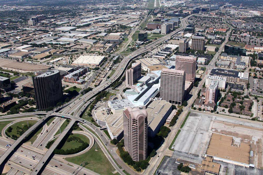
The difference between satellite imagery and aerial (airplane) photography is considerable. Satellite imagery is used to view a property, or area from a vertical view, looking straight down on the area. While aerial photography can also be used to create a vertical image, and may be more cost-effective in doing so over a smaller to medium-sized areas, aerial (airplane) photography allows us to capture low and medium-altitude “oblique” imagery (looking out, across the property from an aerial perspective) of a specific property or area.
-
Vertical imagery is used to view a property, or area from a vertical view, looking straight down on the area, seen on Google Maps or Google Earth. Oblique imagery refers to an image looking out, across the property from an aerial perspective, often with the subject property shown in the foreground of the image and looking out to the horizon. Vertical imagery is largely a purely informational tool, whereas a good oblique image will also incorporate artistic elements such as lighting and composition which tend to bring the image to life.
-
The difference between drone-based photography and aerial (airplane) photography is largely a question of altitude, maneuverability, and accessibility. Both photo platforms can be used to capture vertical and oblique imagery. However, drones are limited to a maximum altitude of 400’ above ground level (“AGL”)anywhere in the United States, and are restricted to lower altitudes in most cities, and prohibited in many areas, such as near airports. Drones are well-suited to demonstrate the aesthetic features and beauty of the subject property itself, and its relationship and proximity to its immediate surroundings. Airplanes are restricted to above 1,000’ AGL in populated areas (cities) and are able to better demonstrate the locational aspects of your subject, such as relationship and distance to the downtown central business district, major employers, major traffic arteries, etc. We will typically capture aerial (airplane) photos from altitudes anywhere from 1,000’ to 3,500’ AGL. Airplanes are able to travel great distances quickly and easily and are usually afforded greater access to subjects in difficult locations, such as near airports. For altitudes between the drone ceiling of 400’ and the airplane floor altitude of 1,000’, helicopters are the platform of choice. Click here to learn more about the different aerial photo platforms that we use and the type of images you can expect to see from each of these platforms.